As I left Banff I saw lots of evidence of the devastating flooding that occurred this spring. There were areas where the rocks and gravel just came cascading down the mountains and buried the roads which were later cleared but some road and trails remain closed and many bridges are still out.

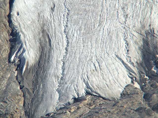
The further north I traveled the more I got into the glaciers and soon I was passing them more or less in an endless stream.
When the lakes or streams are fed my snow melt the water is crystal clear but when they are fed by glacier melt they have a slightly milky look due to the glacial silt that is finely powdered rock from the abrasive passage of the ice. This leads to a more pastel pallet of blues and greens. This is a beautiful road and I'm so glad I left Banff early so I could have more time to enjoy this.
There is a lot of shale in this region and the textures and shadows made me just stop and stare.I'm so glad that this area is protected. The day turned beautiful and the very early start was paying off.
At one overlook there was a tour bus full of Mennonites. It was definitely different than the usual stream of Asians with their cameras.
I eventually came to the Columbia Icefield and decided to grab a campsite in a tent only campground just down the road from the Icefield Center and across from the Athabasca Glacier.
Not a bad campsite.
While I was checking in I met a man named Mark who was interested in hiking up to Willcox Pass so I joined him. The Pass is up on the ridge above the Icefield Center and there was a shortcut leading from the back of my campsite up to the trail a few hundred feet up the mountain. Mark was fun to hike and spend the afternoon with and we ended up hiking 10 miles with 2200 feet of climbing.
The views along the ridge were amazing and though the pictures can't convey the feeling of being surrounded by all this, they definitely will give a sense of why I'll be back to this wonderful part of the world sooner than later.
Once we were up on top we hiked through sub-alpine plants and flowers, some of which bloom every 25 years. There were animals in abundance, especially small ground squirrels and pikas.
The beautiful valley went on and on and Mark wasn't used to the distance that we were travelling but he stuck with it and got much further than he had been before and was excited to see new areas and different plants.
Here the stream just disappeared into a seem in the rocks.
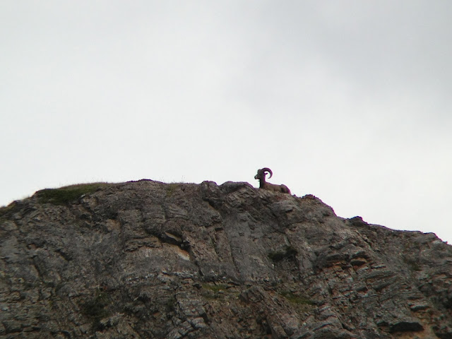
Mark spotted this guy high up on a ridge and I got a picture of him with my Iphone through my binoculars.
On the way back down the valley we took a different path and the green area in the lower part of the valley ended up being a spongy marsh that had formed amongst the rocks. Where the peat was on a rock it was possible to walk carefully and stay dry but in the absence of the rocks it was sponge in water and we picked our way carefully with some back tracking. When the sponge started to resemble small moguls it was actually just a dryer area where the rocks held the peatmoss up higher and the wet areas had receded below that level as the water table lowered in the later parts of their summer. In a few weeks, chances are they will get their first snows and the whole process will start over again.
Coming back down the valley, Mark got a second wind and took me up to the high point of the ridge overlooking the glacier center and the Columbia Icefield.
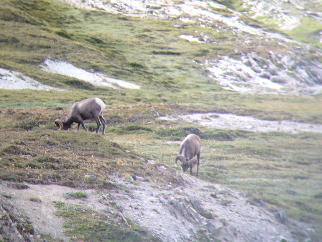
These Bighorn Sheep seemed unconcerned with our passing. They know that we are weak climbers compared to them and hunting never occurs here so they just ignore our presence and continue putting on their winter fat.
Many thanks to Mark for a great hike. We shared a well deserved dinner and slept well that night.


No comments:
Post a Comment